
Miller’s Fork Trail is located at 18889 SC-72, Clinton, SC 29325 for GPS and map purposes. There are two small parking areas, and some picnic tables. The trail follows the path of Miller’s Fork, a Creek that forks of Duncan Creek. I expect when the water levels are higher than when I visited, the fishing must be good. Parts of the trail probably gets soggy during wet weather, but is otherwise easy and level, approximately a mile. I am sure that during spring and summer, bug spray is requirement.
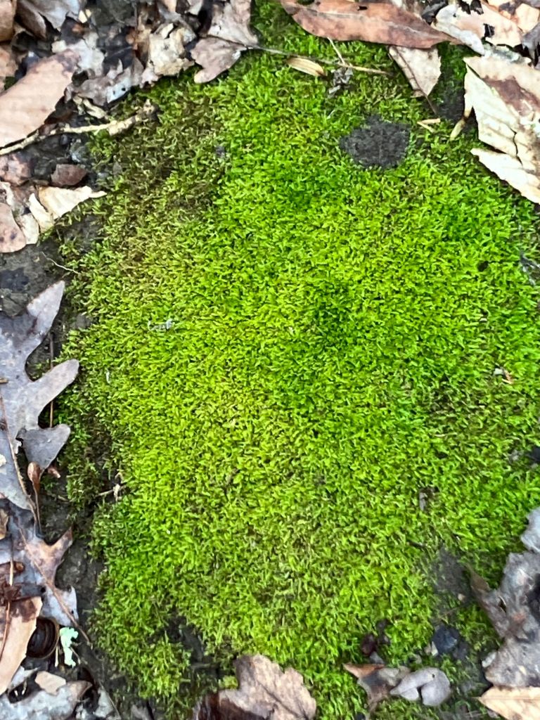
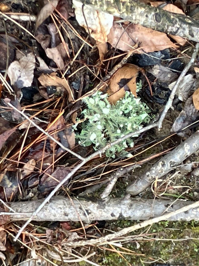
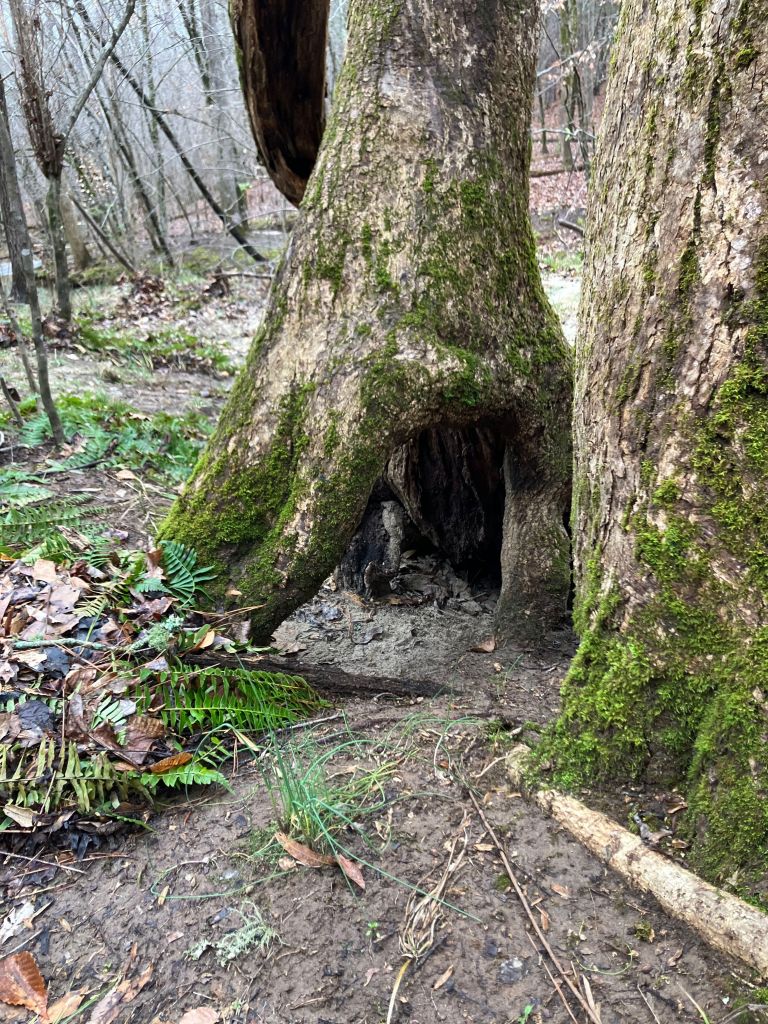
Clearly-marked, native plantings are scattered throughout the park and along the trail, be sure to look for the signs. Birds were plentiful, and I spent some time sitting on the bench creekside, just observing nature.

The Adair family owned land along Miller’s Ford and Duncan Creek.
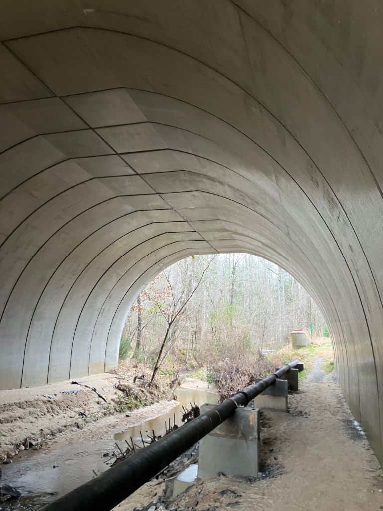
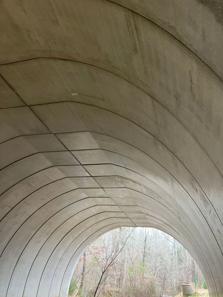
The tunnel under I-26. The trail runs perpendicular to the highway.
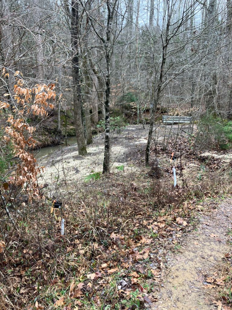

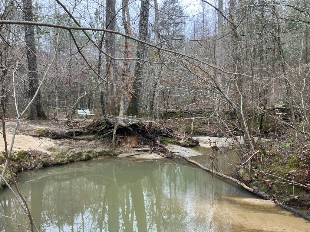

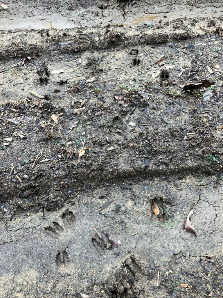

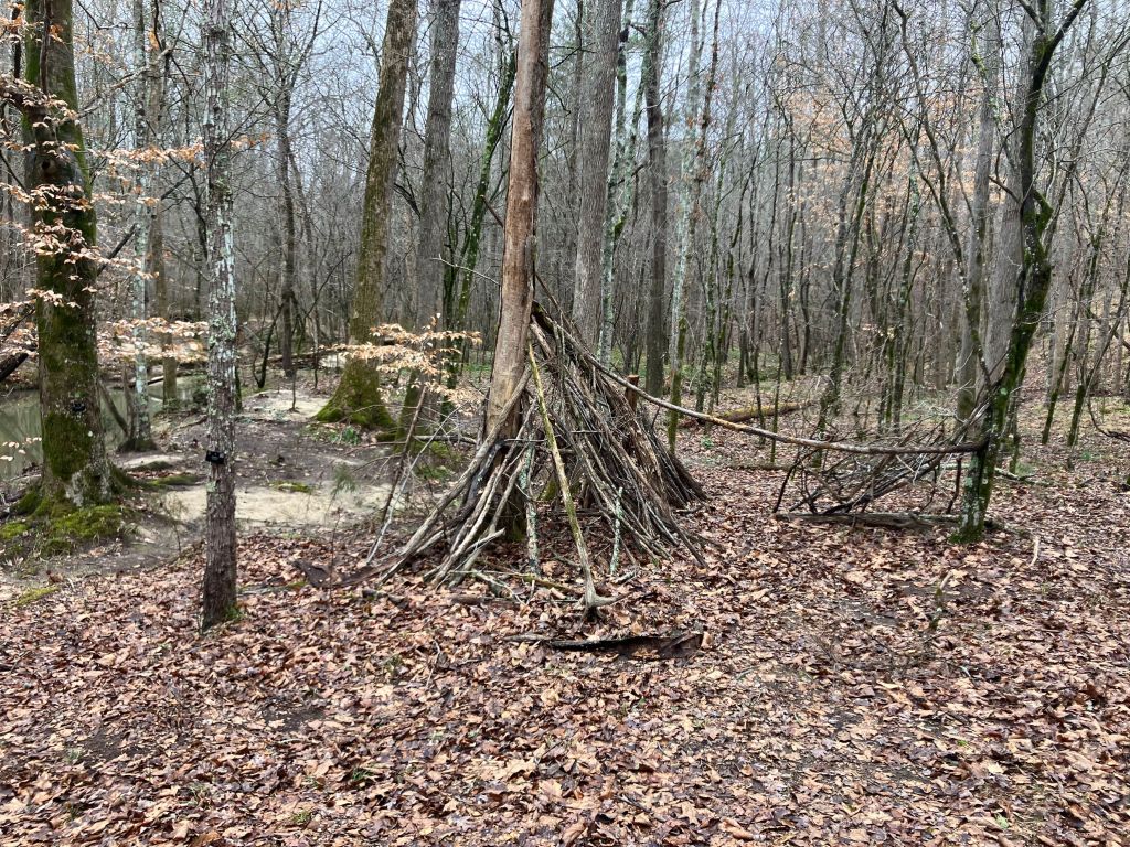
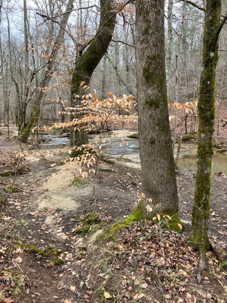

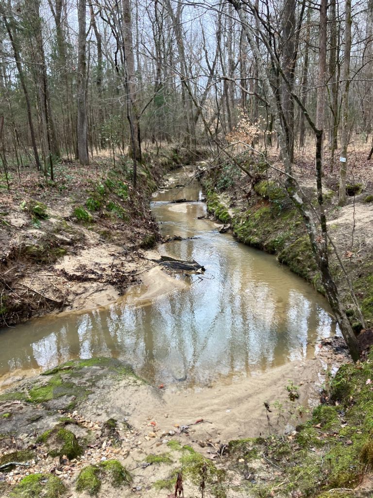


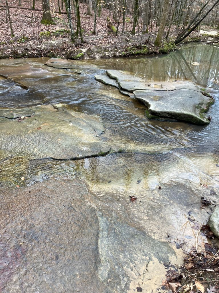
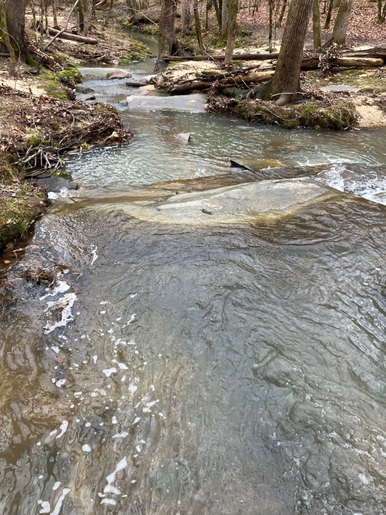
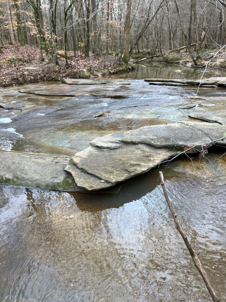
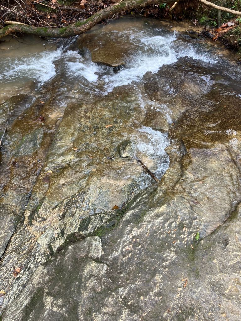

Low water levels exposed a great deal of bank and creek bed, usually well covered with a lot of water.


Resources
Clinton Canopy Miller’s Fork Page